|
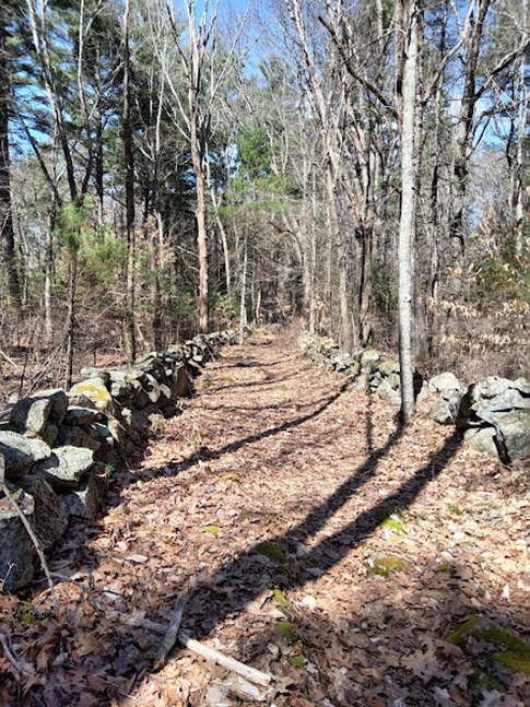
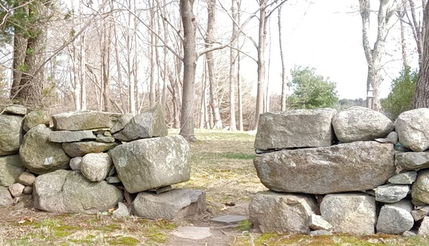
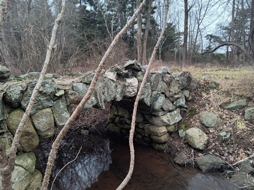
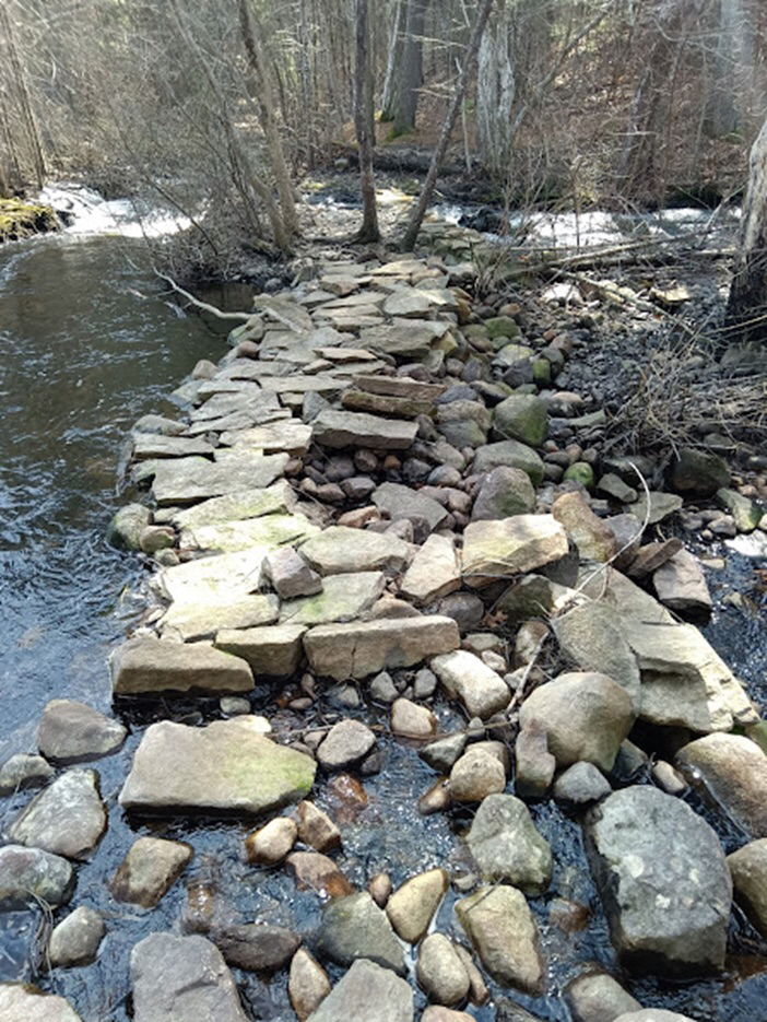
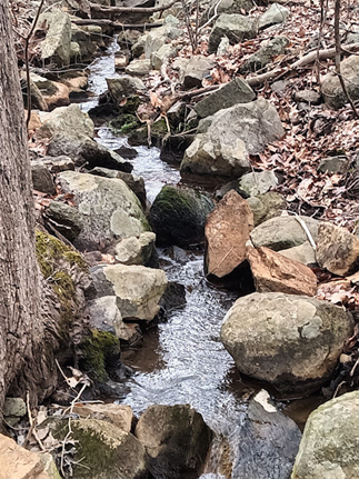
Stone walls have caught my interest. Little in this world is more permanent than stone, particularly glacial boulders. Early settlers in Easton built with stone- walls, foundations, dams, bridges, monuments to the dead- and more. I’ve been wandering about and here are a few of the things that have caught my eye. If you walk the Rockland Trail at Borderland you’ll see segments of stone walls snaking through the woods on both sides. At one time these woods would have been fields. Stone walls in the woods today indicate that the area was settled at some point, usually pre-Civil War. Most wall building in New England occurred between 1775 and 1825. Families living on or near Rockland Street between 1750 and 1886 were the Bennett, Dean, Littlefield, Buck, and Selee families. Interestingly, much of Easton was cleared by 1830. According to an 1830 map in Easton’s Past as Shown Through Maps, (EHS, 1988) more land was cleared in 1830 than is cleared today. This meant lots of farming. The photograph below is of a segment of the trail closer to Rockland Street framed on both sides by stone. It appears to be an old road. Perhaps a farm road? Quite impressive at any rate. Section of the Rockland Trail at Borderland State Park. Most New England walls were ‘tossed’ walls, quickly created of unshaped field stone. ‘Laid’ walls were built with more care. Walls near homes tended to be more carefully or artfully laid. The wall below belongs to the Red House (Hayward House) on old Foundry Street. Wall on Foundry Street. The photo below shows a small bridge at the Governor Ames Estate which is now managed by the Trustees. The original house was built in 1862 at 35 Oliver Street and demolished in 1937 by the children of Governor Oliver Ames after both he and his wife Anna died. Bridge at Governor Ames. The bridge was built to be decorative on a beautiful, landscaped estate. Earlier walls and bridges were built for function. A dam of rocks and stones on Mulberry Brook. Wheaton Farm property. No idea of dating on the dam but beautiful with spring waters overflowing.
Fortunately for me there is much more to explore, and spring is on its way. Stones are mute teachers; they silence the observer, and the most valuable lesson we learn from them we cannot communicate. Johann Wolfgang von Goethe Anne Wooster Drury [email protected] Some facts taken from the book Stone by Stone, The Magnificent History of New England’s Stone Walls, Robert M. Thorson, 2002
0 Comments
I remember visiting what we called Lincoln Spring with my father and siblings as a child. Chaffin mentions Lincoln Spring when he writes that Nathaniel Manley, one of Easton’s first settlers, lived not too far from Lincoln Spring. When Isaac Leonard discovered bog-iron ore near Manley’s house Manley deeded him one third part of the ore that would be taken from it. Isaac Leonard was Manley’s brother-in-law. Manley himself was gone by 1726, having sold his house, ore and land to Eliphalet Leonard. Lincoln Spring remains and is located off Lincoln Street to the north, not far from the Holy Trinity Lutheran Church. What I saw at Lincoln Spring a few weeks ago. I parked at the Town Pool parking lot, walked back up the hill toward Lincoln and took the path on the right that leads north roughly parallel to Lincoln. You can also access the spring from the parking lot of the church. The land nearby is very wet. Lincoln Street itself was laid out in 1757. It began at the big rock near the intersection of Center and Main. I assume it’s the same rock that is still there today. If I understand Chaffin correctly, the original Lincoln Street ran differently so that the spring lay on the southern side of the road. It was a convenient spot to stop and water horses. Lincoln Street is likely named for Paul Lincoln’s family who settled there. Paul Lincoln fought with a company of Easton men in the Revolutionary War and at least three members of the extended family lived in the area. In 1887 the North Easton Water Company was created by Frederick Lothrop Ames, Oakes A. Ames, and our friend Dr. George Cogswell, among others. The North Easton Water Works was located at 101 Lincoln Street. Water from the series of springs “allowed the corporation to distribute water for residents, businesses and fire extinguishment.” Easton Historical Society. Easton Water Works, Lincoln Street.
According to Doug Watts in his book Tispaquin’s Revenge (2006), water in the pond behind the Town Pool and the Town Pool itself are spring fed from a system of natural springs that includes Lincoln Spring or are collectively Lincoln Springs. In the 1970’s there was a high shingled pyramid in the middle of the pool parking lot that covered the well-head. “Built in 1887 as part of the North Easton Water Works, the sand bottom of the Town Pool was originally designed as a filter bed for cleaning surface water before it was pumped to homes in the North Easton Water District. After the water supply was discontinued, the filter bed was repurposed in 1960 and is now used as a bathing beach which is known as the Easton Town Pool.” There is much more to this story that I will follow up with in later newsletters. Anne Wooster Drury [email protected] |
Author
Anne Wooster Drury Archives
June 2024
Categories |
Easton Historical Society and Museum
PO Box 3
80 Mechanic Street
North Easton, MA 02356
Tel: 508-238-7774
[email protected]

