|
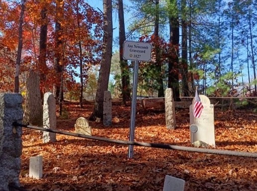
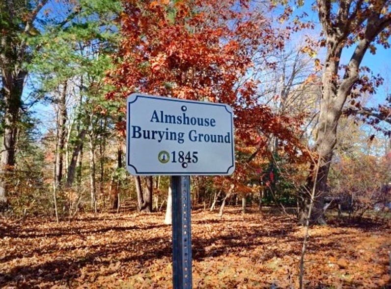
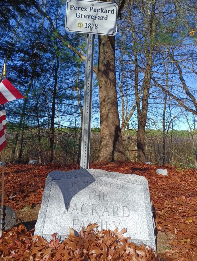
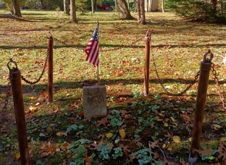
Hello Everyone, Reminder of upcoming events: Easton Garden Club will be selling greens at the Easton Historical Society Saturday, December 3rd Easton Lion Clubs Annual Holiday Celebration is Sunday, December 4th Easton Festival of Trees, sponsored by the Easton Charitable Trust, November 26th to December 11th at the Easton Country Club Burying Grounds, Graveyards and Cemeteries. Easton has 36 cemeteries, both town-owned and private. The oldest is the Old Burying Ground, established in 1705 and located on Church Street. The last established cemetery is private; the Holy Cross Fathers Cemetery (1950) is located at 320 Washington Street. Before roads were ample and reliable in all seasons, when people lived on isolated farms without good transport, the dead were often buried on their own homesteads. Often the graves were unmarked, or only marked with piles of stones. Later when the property changed hands, new owners may not have known or cared about the burial sites. Some of Easton's burying grounds are very small and located in obscure places. I visited five small and unusual burial grounds in Easton. The Asa Newcomb Graveyard, located at 11 Red Mill Road in South Easton, includes only two graves. Asa's, who died at age 67 in 1827 and his wife Sally's. Sally died in 1836, age 65. Asa Newcomb lived in "the extreme southwest part of town" somewhere near the Norton line. In his History of Easton, Chaffin states the gravesite "is carefully enclosed and well cared for." The same is true today. Chaffin refers to Red Mill Road as Maple Street and it appears as such on early maps. Newcomb Burying Ground Another somewhat 'hidden' cemetery is the Almshouse Burying Ground (1845). It is located to the rear between 30 and 34 Rachel Circle. "A lot of land sixty by forty-five feet was laid out three hundred yards southwest" of the Almshouse for inmates who had no other option for burial- no willing friends or relatives. At the time Chaffin noted that there were nineteen or twenty unmarked graves. He suggested that it would be appropriate to provide headstones inscribed with birth and death dates for these unfortunates. Today there is a marker for the School Street Cemetery which notes that thirty-eight bodies are interred here, though "Their names are known only to God." The cemetery is no longer surrounded by "a good stone-wall" as it was in Chaffin's time. Perez Packard, who at one time lived in the Maliff house on Lincoln Street, is buried in a grassy area that was once near the edge of Flyaway Pond. A very young son, and a daughter of about twenty, are buried with him. You can reach the site by parking on Flyaway Pond Drive and walking a short distance into the woods. There is a path that leads to a stone inscribed 'In Memory of the Packard Family' (1878). As a family, the Packards came very early to Easton; the earliest date a male Packard is mentioned in Chaffin is1709. Nathaniel Packard was one of many petitioners writing 'To his Excellency Joseph Dudley, Esqr.' regarding the location of a meetinghouse. Nathaniel Packard also appeared on the muster roll of minutemen in Easton called to action after the first shots of the Revolution were fired in April of 1775. He was a veteran of the Revolutionary War. As you can see in the photos the Veterans of Easton are wonderful about keeping fresh flags at all gravesites. Captain Elisha Harvey, one of the earliest settlers in Easton, is buried on Elm Street near the intersection with King Ave on the property of the Old Colony YMCA, Easton Branch. It is possible that his grave (and others) were affected by modern construction in the area. Harvey came to Easton from Taunton before 1767 and during the Revolutionary War was present at many important battles, including Brooklyn Heights and Yorktown. He was promoted from Sergeant to Lieutenant, and toward the end of the war, Captain. He was known for being a brave officer. When the war ended, he was living in Taunton but was back in Easton in 1790 and died here in 1821. He received a pension of thirty dollars a month in his old age. Ichabod Manley's grave site is not far from the water tower near Roche Bros plaza in North Easton. Take Rockmeadow Drive off Washington Street, turn right onto Pebblebrook and park where the road bears to the left. Walk toward the left of the water tower and you will see, again to your left, a small chained off area. There is only one stone and I could not read anything on it. It took me two attempts to find the grave. On the map titled 'A Plan Of Ye Old Easton' based on an original map drawn in 1750, Ichabod Manley's homestead appears in Easton's northeastern corner, just south of the Stoughton line. His grave marker is in that approximate vicinity. Ichabod Manley's gravesite near the water tower off of Washington Street. Although not purposely hidden at the time, these gravesites are not easy to find today. I felt like a trespasser on occasion as I passed very close to modern homes. It is well that they are remembered and tended to. Although many burial sites are lost to time, it is good we treasure
what we have. Pine needles underfoot on both Pavement and path muffle all Sound. Morning is quiet but for The flutter of birds in the bittersweet Anne Wooster Drury www.eastonmahistoricalsociety.org · 508-238-7774
0 Comments
Good morning,
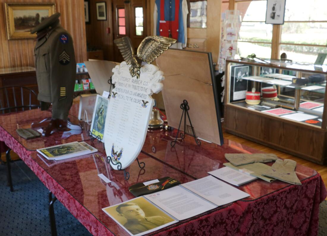
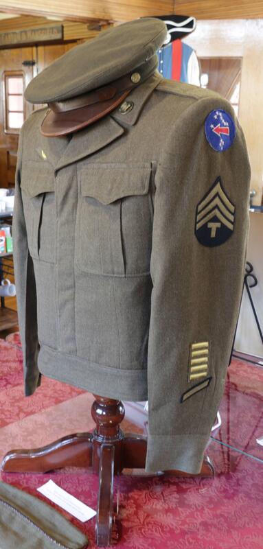
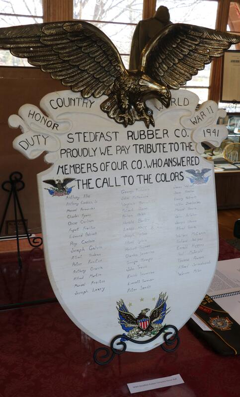
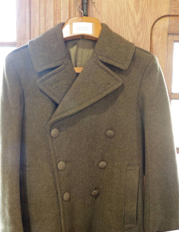
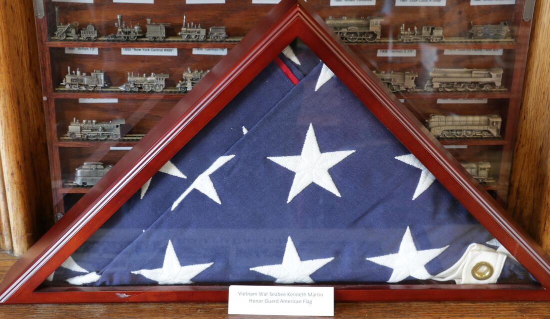
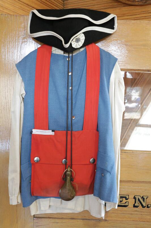
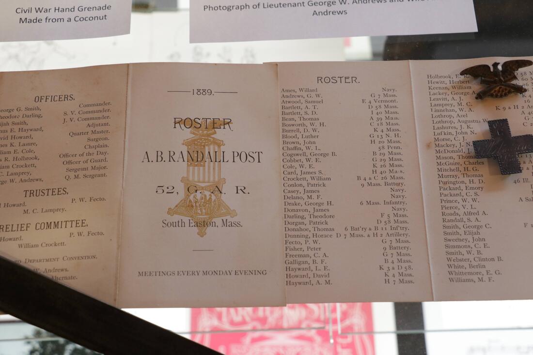
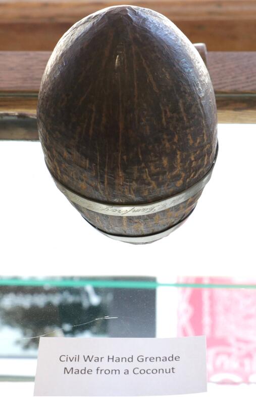
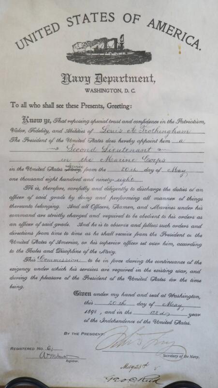
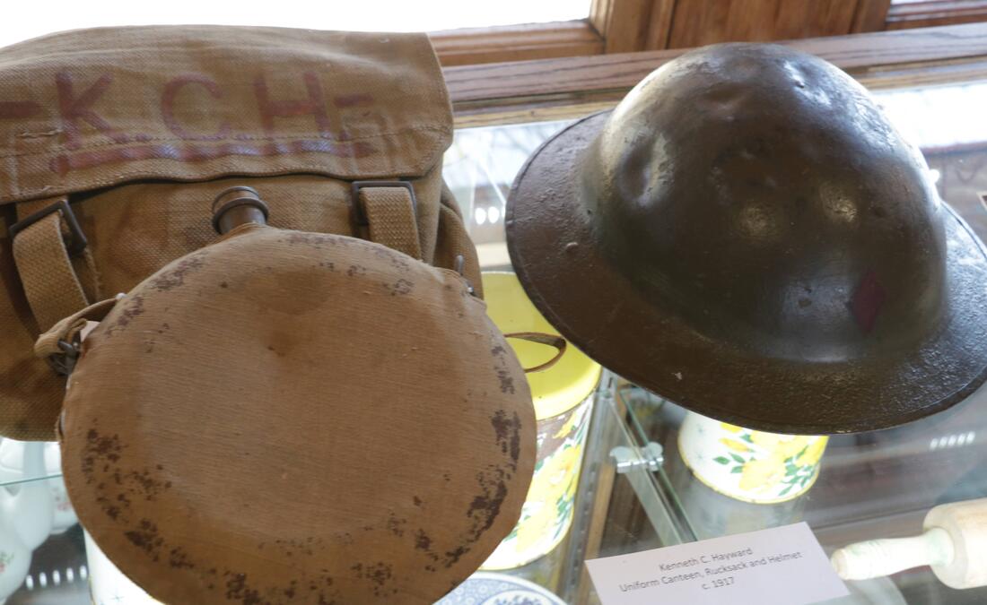
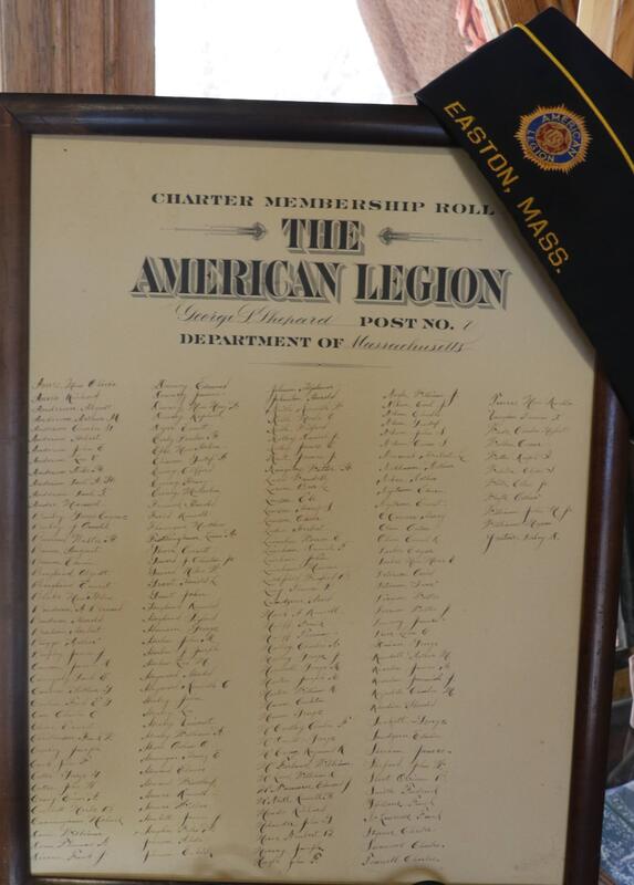
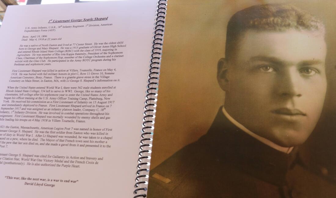
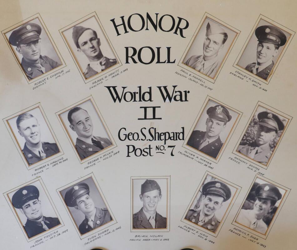
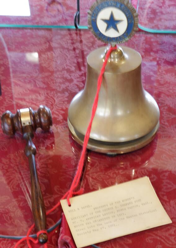
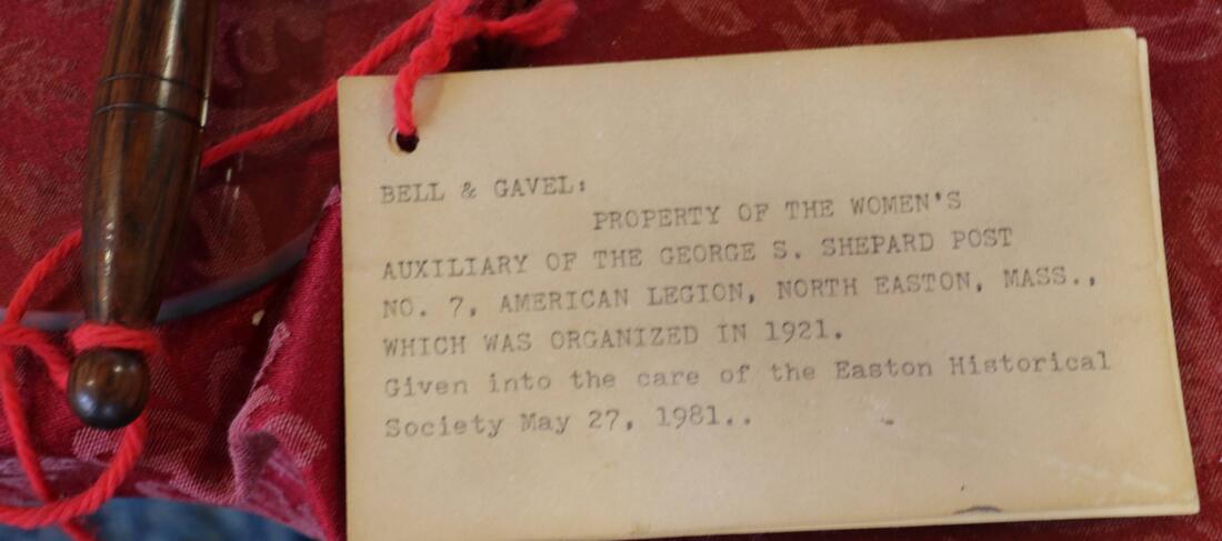
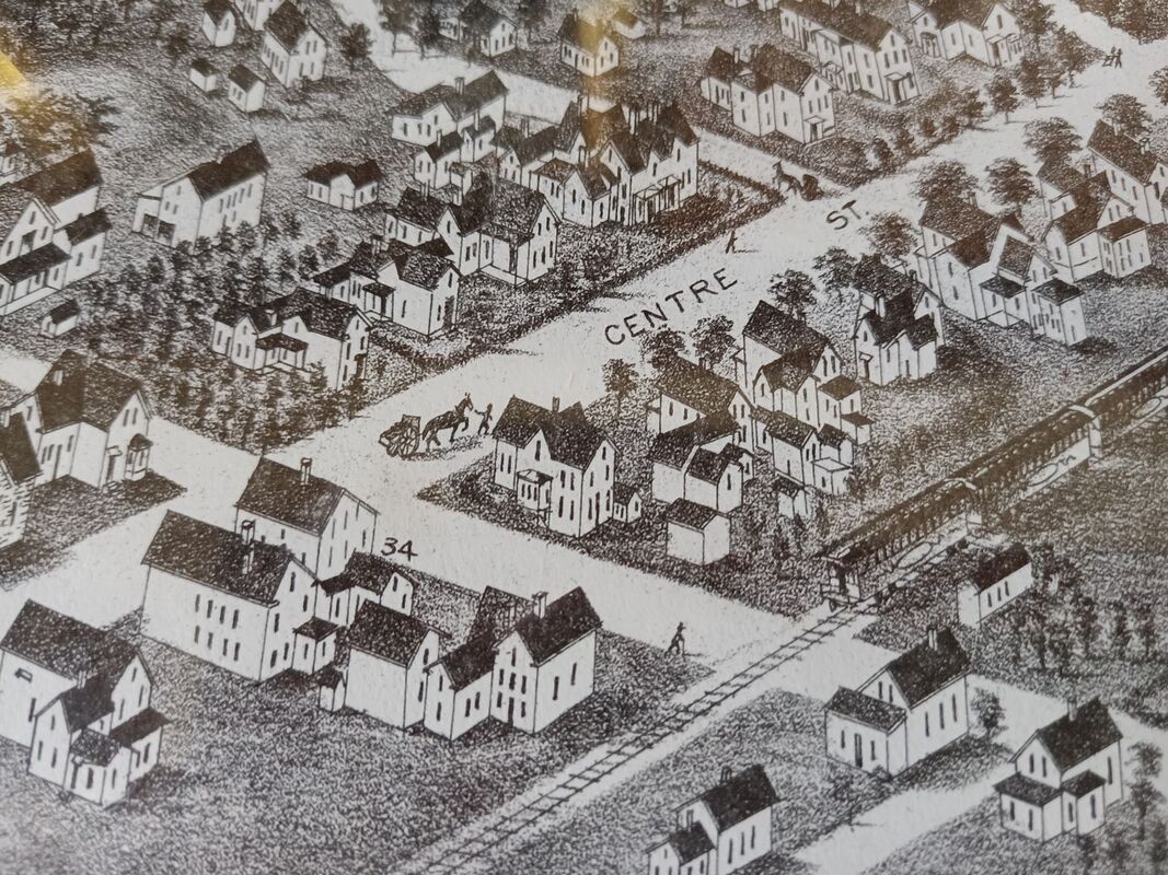
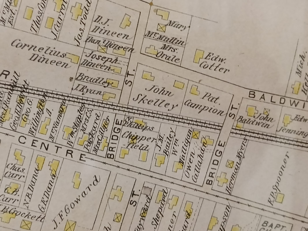
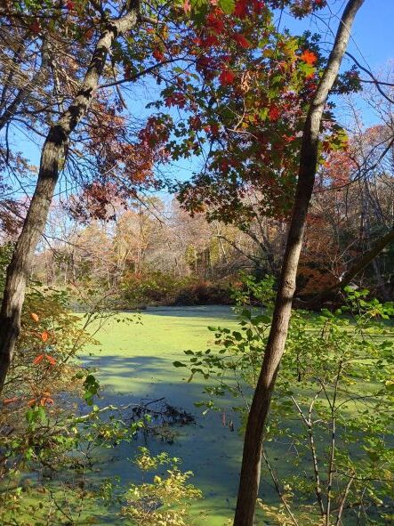
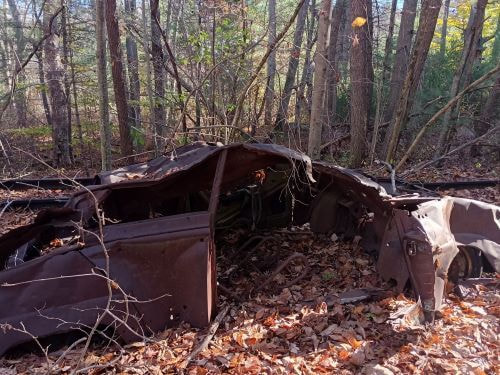
I would like to recognize Ken Michael for putting together a special display for our Veteran’s Day open house at our Museum. I have attached a number of images of our artifacts and pictures assembled over the years. We will be keeping this display for our visitors until early December and before the Easton Garden Club has their annual Christmas greenery sale. (pretty sure that’s Saturday, Dec. 3rd.) Thanks also to Janet Michael for coordinated the refreshments (she did it all!) Arielle for labeling everything! Our new Director, Steve Anderson fixed our large clock on the wall that day!! All that attended loved the exhibits. So please share this info, and invite family and friends to see the displays until December 3rd. Jon Although the railroad played a large role in the development of Easton as an industrial community, the trains are long gone. But remnants of their existence remain. With a couple of interruptions, it is possible today to walk the train's route from the Stoughton line, through North Easton, Easton Center, all the way into the Hockomock Swamp, ending up behind the old dog track in Raynham. I've been walking the railroad tracks. Last week, on a beautiful fall day, I walked from the Stoughton line, west of Roche Bros Supermarket and approximately parallel to Washington Street, to the Historical Society and Museum on Mechanic Street. Between Stoughton and Elm Street are two wooden bridges, one more damaged than the other, that cross Whitman's Brook. 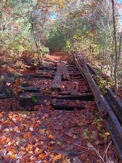 Damaged bridge over Whitman's Brook View off the path Occasionally, trails lead off the path beside the tracks, leading to hidden vistas worth checking out. The above view was down a path on the right, off the line, heading south. After crossing Elm Street and reaching the Historical Society I continued up Sullivan Ave., toward Main, and passed another bridge that carries the tracks above street level. Walking on, I slipped through a tear in the fence and hazarded a treacherous descent down to the tracks and the wall of dirt and vegetation packed under Main Street where a bridge once crossed. Chet Raymo, Easton resident, noted author, and professor emeritus at Stonehill College, wrote in his book, The Path, published in 2003, about his regular walk from his home on Main Street in North Easton, through Sheep Pasture, to his job at Stonehill, that "Measured from end to end, the path described......is hardly more than a mile, but the territory it traverses is as big as the universe." The railroad tracks run less than seven miles through the Town of Easton but there is an entire universe here. Like Raymo, I try to observe every detail of my route. Three days later, I continued walking. Between Main Street and Bridge Street the path is difficult but from Bridge to Depot it is clear. Bridge Street has an interesting history. The Village of North Easton map (1895) shows Bridge Street was originally an (upside down) U. If you drive up Bridge Street from Center today, turn left to stay on Bridge Street, and at the bottom of the hill turn left again you run into rocks blocking what used to be part of Bridge Street, crossing the railroad tracks to Center Street. When I first began driving in the 1970's, a car could cross here to Center Street. Today there is a sign where the road meets Center, for 'Center Street Rear'. In the photo on the top, from the map View of North Easton, Mass, 1881, is the part of Bridge Street (never a bridge) crossing from Williams Street to Center, heading west. On the bottom, the map Village of North Easton, 1895, showing the U-shaped Bridge Street. Continuing on, it is easy to access the tracks from the outdoor chapel behind the Covenant Congregational Church on Center Street. There, on the far side of the tracks, is a wet area sometimes called 'The Muck'. In the past, young people fished and skated, and in at least a few cases, even swam there! Some of its 'muckiness' comes from the fact that it absorbed run-off from the old Easton dump that sat at the bottom of Baldwin Street and operated until 1972. I also passed an old, rusted automobile shortly before arriving at Depot Street. The Muck Old car near Depot Street The Easton Center train station, which no longer exists, was located on Depot Street near Fernandes Lumber and Home Center. Today, a building (possibly the ticket office) that was once part of the station complex is located a short distance away from its original location, behind the Evangelical Congregational Church at 351 Depot Street. Easton Center Depot
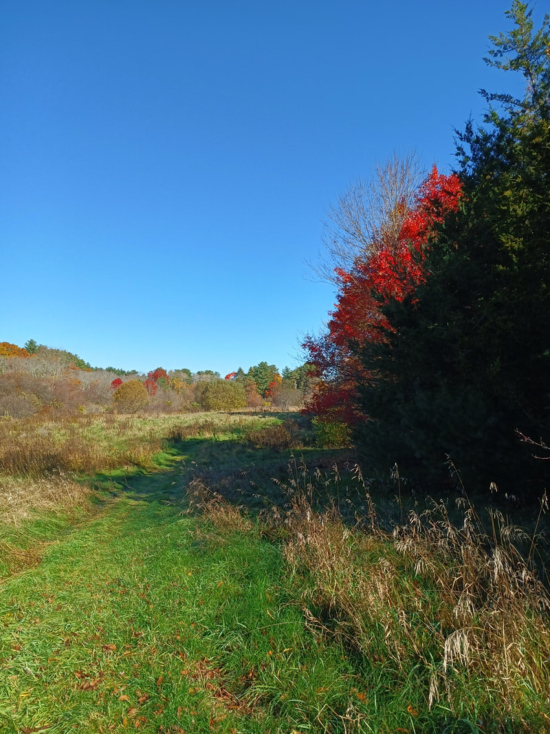
I plan to complete my walk of the train line as it travels through Easton. (Once the bears are in hibernation.) In North Easton, tracks remain, but by 1968 all of the tracks south of Easton Center were removed, and there is only a dirt path. I will pay attention as I go. In addition to history, architecture, and industry, we appreciate our town's natural beauty and green spaces. Some are well-known and well-visited: Borderland, Wheaton Farm, Sheep Pasture, but some are still somewhat hidden and a joy to stumble upon. In The Path, Chet Raymo writes that most of us will find our purpose "on the local scale, along paths that begin at our own front door." Anne Wooster Drury The frogs in the pond are a Memory now, gone wherever Frogs go when the wind scrapes Dry leaves along the pavement eastonmahistoricalsociety.org 508-238-7774 Hello Everyone,
Our annual meeting was very successful and we appreciate the sizable turn out. For anyone who was not able to attend, ECAT has a recording available at: https://youtu.be/z4vyWtqXdFg Thank you for your continued support and have a wonderful weekend!! Arielle |
Author
Anne Wooster Drury Archives
June 2024
Categories |
Easton Historical Society and Museum
PO Box 3
80 Mechanic Street
North Easton, MA 02356
Tel: 508-238-7774
[email protected]

